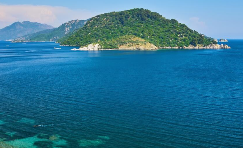
The Carian Trail is Türkiye’s longest long-distance walking route: 850 kilometers of marked path threading through the Bozburun and Datça Peninsulas, the Gulf of Gökova, the inner highlands of ancient Caria, and the hills around Muğla. It was named one of the six best adventure trails in the world by National Geographic in 2021, and in the context of the region’s walking culture, that recognition is overdue. The trail passes through a landscape that has been inhabited, farmed, traded across, and fought over for three thousand years, and the evidence of that history is not in museums but on the ground beneath your feet: Lycian rock tombs cut into cliff faces, stone-paved Ottoman caravan roads still intact under centuries of pine needles, ancient harbors where the Aegean and Mediterranean meet in water so clear you can see the amphoras on the seabed from above.
This is a guide to walking the trail: its five sections, what you’ll find on each, when to go, what to bring, and how to get there. Full practical information is available at the official Carian Trail website including GPS coordinates, accommodation points, and the Before You Go guide. The Pegasus route map shows connections into Dalaman and Bodrum-Milas, the two airports that give you best access to the trail’s various starting and finishing points.
The Trail at a Glance
Total distance: 850 kilometers
Sections: 5 — Bozburun Peninsula, Datça Peninsula, Gulf of Gökova, Inner Caria (İç Karia), Muğla and Surroundings
Difficulty: Moderate to challenging — varies significantly by section
Best seasons: Spring (April–June) and autumn (September–November). Summer is too hot for most sections; the coast is bearable in short morning stages only.
Trail markers: Red and white horizontal bands, consistent throughout
Navigation: GPS recommended — download coordinates from the Carian Trail route and coordinates page before departure
Fire warning: No open fires anywhere on the trail. The region is predominantly pine forest and fire risk is extreme in summer.
Section 1: The Bozburun Peninsula
Starting point: Marmaris-İçmeler | Difficulty: Moderate–Challenging
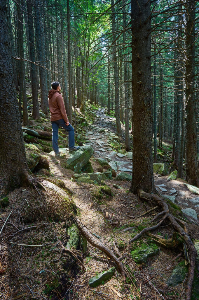
The trail begins on the Bozburun Peninsula, the long finger of land that extends southwest from Marmaris between the Aegean and the Mediterranean. This is the most rugged and least visited section of the Carian Trail, and for walkers who want the sense of genuine discovery, it delivers. The paths here are narrow and often unmarked by anything beyond the red-white bands and the occasional cairn; the villages are small and traditional, and the views across to the Greek islands of Rhodes and Symi appear and disappear through the pine forest as you move along the ridgeline.
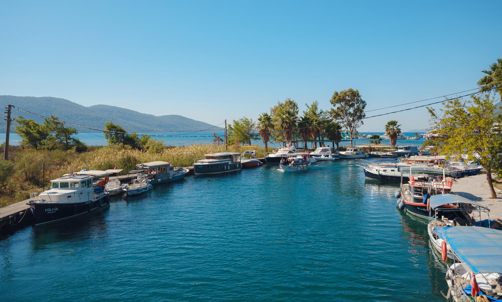
The peninsula has a particular quality: it feels like a place that tourism passed by on the way to somewhere else, and the small harbor towns — Selimiye, Bozburun, Söğüt — have the unhurried character of fishing communities that have not yet reorganized themselves around the expectations of visitors. The trail passes through all of them, and the evenings in a harbor-side restaurant with the day’s walking behind you are among the better rewards the trail offers. Note that several sections of this part of the route remain closed post-fire. Check the current status carefully and plan accordingly. The Marmaris guide covers the gateway town in full.
Getting there: Fly into cheap flights to Dalaman — Marmaris is about 90 kilometers east by road.
Section 2: The Datça Peninsula
Starting point: Eski Datça | Difficulty: Moderate
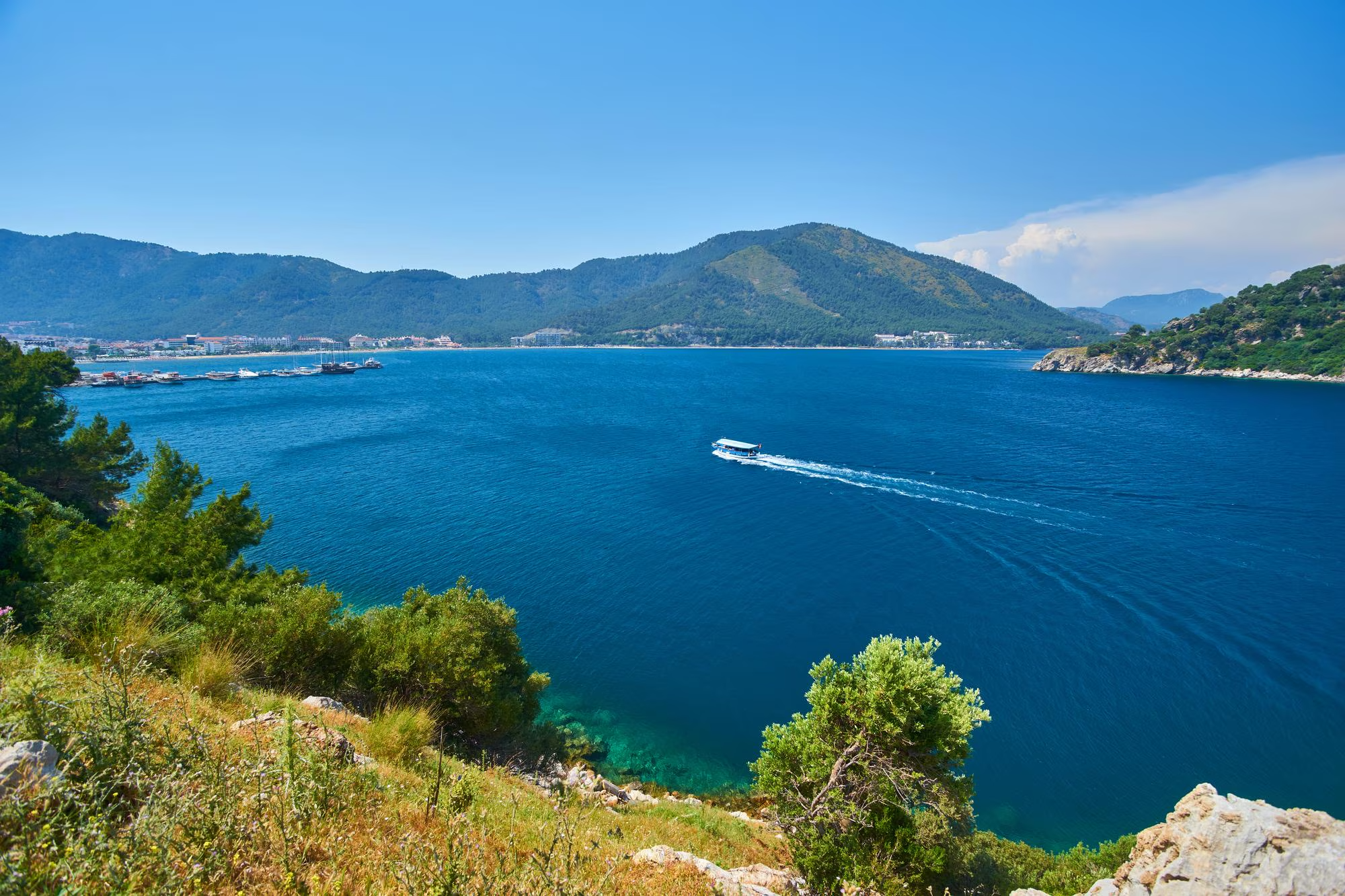
The Datça Peninsula section begins in Eski Datça, the old village above the modern town, and moves first south and then west along a coastline that becomes progressively more remote as the peninsula narrows toward its tip. The landscape here is different from the Bozburun section: drier, more Mediterranean, with almond and mastic trees replacing the dense pine forest, and the Aegean and Mediterranean coasts both visible from the higher ground. The path crosses headlands and descends into bays that have no road access, which means that between the villages you may walk for hours without seeing another person.
The western end of the peninsula is the trail’s most dramatic section: the path arrives at the ancient city of Knidos, where two harbors face two different seas and the ruins of temples, a theater, and the lighthouse that guided ships through the channel for centuries are spread across a promontory above the water. From Knidos the trail turns east and follows the peninsula’s northern coast — almost entirely uninhabited — to the narrow isthmus at Balıkaşıran and eventually arrives in Akyaka. The views across the Gulf of Gökova throughout this eastern return are extraordinary. Discovering the Crystal Clear Waters and Serene Bays of Datça covers the peninsula’s bays in detail for those who want to combine walking with swimming.
Getting there: Fly into Dalaman (see above). Datça is about 120 kilometers west of the airport — a hire car or bus connection via Marmaris.
Section 3: The Gulf of Gökova
Starting point: Akyaka | Difficulty: Moderate
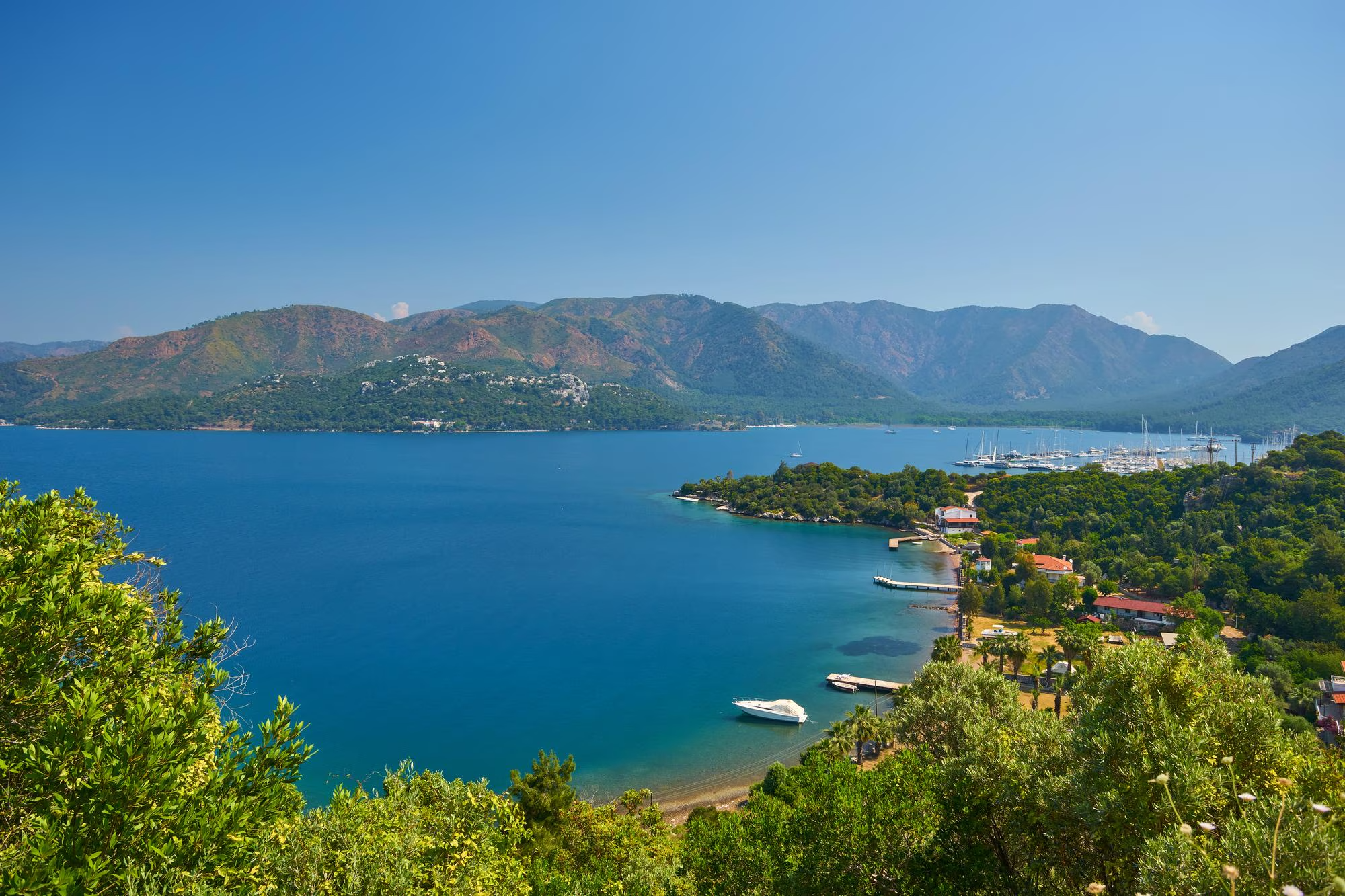
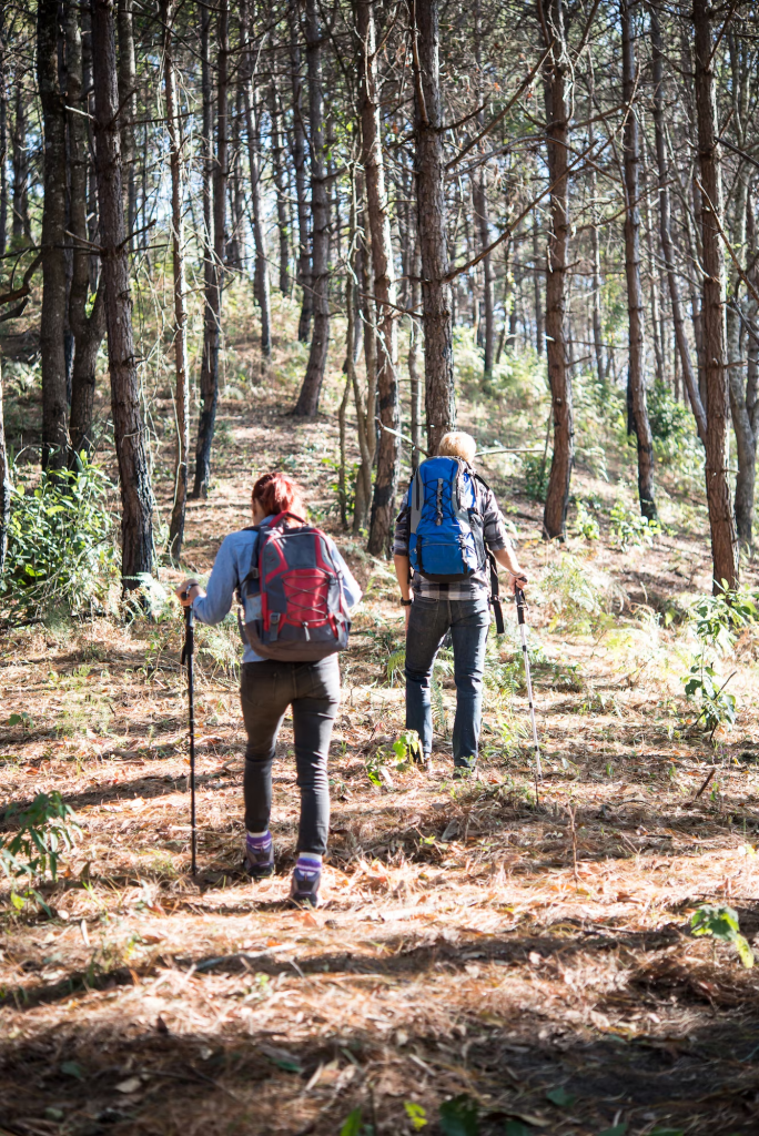
From Akyaka — the charming Cittaslow village at the head of the Gulf of Gökova — the trail climbs into the Kıran Mountains through forested paths before descending through productive valleys to the gulf’s southern shore. The views from the ridgeline over the Gulf of Gökova and the Datça Peninsula beyond are among the best on the entire trail: on a clear day you can see the full length of the gulf, the islands in the water, and the mountains of the Bozburun Peninsula across the water to the south.
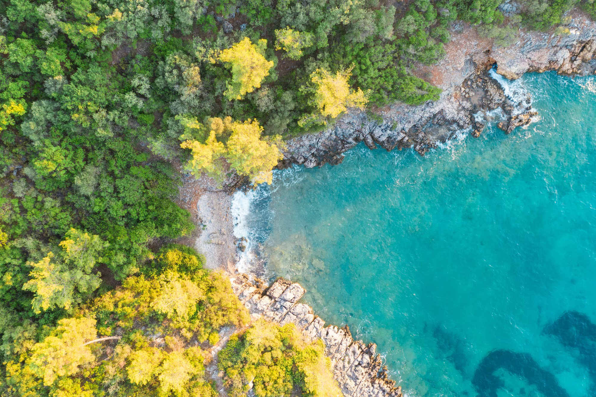
The lower sections of this part of the route pass through coves and isolated beaches that can only be reached on foot or by boat, which makes them among the least visited swimming spots on the Turkish Aegean coast. The overnight camping options here are simple — springs and flat ground rather than established campsites — and the silence on this stretch of coast in early autumn, when the summer boats have gone, is complete. Note that sections east of Çakıllıyalı remain closed post-fire. The Hidden Bays and Ancient Ruins Along the Muğla Shoreline covers the coastal context of this entire section.
Section 4: Inner Caria (İç Karia)
Starting point: Gulf of Gökova coast | Difficulty: Moderate–Challenging
The Inner Caria section is the most historically dense part of the trail and the one that most rewards anyone who has spent any time reading about the ancient world before they go. From the Gulf of Gökova the path climbs inland, moving away from the coast and into the highlands of the ancient kingdom of Caria — a pre-Greek civilization that produced, among other things, the Mausoleum at Halicarnassus (one of the Seven Wonders of antiquity, in modern Bodrum) and a remarkable sequence of rock-cut tombs that appear in the cliffsides throughout this section like windows into the landscape’s deeper history.
The trail passes through the villages of the Milas district, where hand-weaving of traditional carpets continues in much the same way it has for centuries, and through the ancient capital Mylasa (modern Milas) before climbing to the Beşparmak Mountains. The Lake Bafa section is perhaps the most atmospherically distinctive of the entire trail: the lake sits below the mountain, dotted with small islands, its surface reflecting the peaks above. Byzantine monasteries stand on several of the islands, accessible only by rowboat from the villages on the shore. The trail finishes this section at Alinda, another ancient Carian city, and descends to the village of Karpuzlu. Harvesting Local Flavors: Agritourism and Slow Food in Türkiye covers the traditional food culture of the villages along this section.
Getting there: Fly into cheap flights to Bodrum for the eastern approach to Inner Caria — Milas is about 15 kilometers from Bodrum-Milas airport.
Section 5: Muğla and Surroundings
Starting point: Akyaka | Finishing point: Stratonikeia | Difficulty: Easy–Moderate
The fifth section follows an old Ottoman caravan route inland from Akyaka, climbing through farmland and forested slopes before the path opens onto the Karabağlar plateau. The plateau has functioning coffeehouses that date from the Ottoman period — some restored, some barely altered — where the trail’s walking culture and the local community’s daily life intersect in a way that few other sections manage. The Değirmendere Canyon, encountered later in this section, is one of the most dramatic natural features of the whole trail: a gorge cut through limestone by a river that runs cold even in summer.
The section passes through old Muğla — the narrow-laned historic quarter of the provincial capital, with its distinctive whitewashed houses and Ottoman architecture — and continues through the ruins of Mobolla, the ancient city that gave Muğla its name, before arriving at the trail’s endpoint: the ancient city of Stratonikeia, whose remarkably intact ruins — a theater, a bouleuterion, colonnaded streets — sit in and around the village of Eskihisar, some of the ancient buildings still inhabited by villagers who have never seen a reason to leave.
Before You Go: Practical Guide
What to Carry
Carry at least 2 liters of water at all times — more if camping. Water sources along the trail are marked but not always reliable, particularly in late summer and autumn after a dry season. A GPS device or a smartphone with the trail coordinates downloaded is strongly recommended: some sections are well-marked but others, particularly after the 2021 fires, have had markers damaged or removed. Download the coordinates from the Carian Trail coordinates page before you leave mobile coverage. Sunscreen, a hat, and trail shoes with ankle support are essential. A trekking pole makes the rocky descents considerably more comfortable.
Trail Rules
No open fires, anywhere, at any time. The region is predominantly pine forest and the fire risk is extreme. Carry all waste out — including organic material — to the next settlement. Do not add new trail markers beyond the approved red-white bands; cairns are acceptable where you feel they might help other walkers. Do not camp near water sources, which are shared with wildlife. Walk in a group of at least three if you are not an experienced solo hiker, and always inform someone of your planned route before you set out.
Accommodation
Accommodation along the trail ranges from simple village guesthouses and family pensions to wild camping on the more remote sections. The Carian Trail website has an accommodation map showing all options along the route. In the village sections, it is almost always possible to find a bed with advance notice; in the uninhabited stretches between settlements, camping is the only option and you need to be fully self-sufficient. The trail’s accommodation and water page has the complete picture.
Getting to the Trail
The trail’s western sections — Bozburun and Datça Peninsulas — are best reached via cheap flights to Dalaman. The eastern sections — Inner Caria and Muğla — are best accessed via cheap flights to Bodrum, with Bodrum-Milas airport about 15 kilometers from Milas, the main town of the Inner Caria section. Muğla itself is served by the Muğla-Milas Bodrum airport or accessible by road from Dalaman. Use how to find cheap flights to book early. The Pegasus route map shows all connections. Check the baggage allowance page before packing — hiking boots, trekking poles, and a full backpack add weight. Consider the upgrade package for flexibility if your plans might change mid-trail, and pre-order your in-flight meal via the Pegasus Café pre-order menu up to 24 hours before departure. Then put your phone on silent, download the coordinates, and walk.